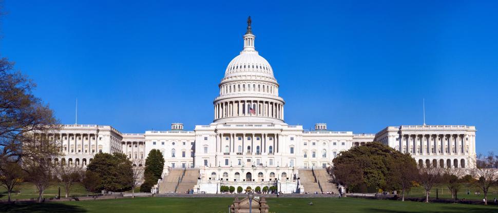
The District of Colombia is a small sector of our country, built on the land between Maryland and Virginia on the Potomac River. However, much of D.C. is not part of the natural land. Much of D.C.’s land was reclaimed from the Potomac River and wetlands. Due to this, much of D.C. is built up on low-lying land, which flooding could quickly destroy. With sea levels slowly rising due to global warming, the threat of a rising river has grown immensely.
In fact, in 2006, when a storm dropped 7 inches of rain on D.C. all in one day, action had to be taken. A removable wall of levees was put into place near the Washington Monument. Flooding from that one storm alone shut down many buildings, including the Smithsonian museums and the IRS Headquarters, and resulted in property damages over ten million dollars.
The levees comprise 27 aluminum panels held in place by nine steel posts. When the levees are placed on 17th Street, they protect an area that is not only highly susceptible to flooding but also a historic part of the Potomac River. The levee system dates back to The Great Potomac Flood in 1936 when a wall of sandbags was constructed to prevent the river from flooding the city. However, the sandbag system was not good enough to cut it, as it required far too much time and effort to erect in the event of a crisis and wasn’t even that efficient.
In 2014, a better system was implemented, including curved stone walls on either side of 17th Street and aluminum panels. This singular wall protects over $14 billion of property inside the district, historical monuments and other buildings inside our nation’s capitol, and tens of thousands of people who work and live there.
LEARN MORE:
https://dcist.com/story/21/09/29/levee-protect-potomac-flooding-climate-change-dc/
https://www.nab.usace.army.mil/Missions/Civil-Works/DCandVicinityfloodriskmanagement/
https://www.atlasobscura.com/places/potomac-park-flood-levee
https://www.ncpc.gov/topics/flooding/
TAKE ACTION:
